
HOW WE HELP
We provide specialist scientific and technical services across the full spectrum of landscape and waterway management, from catchment-scale assessments and strategic planning through to site-based investigations, monitoring and restoration design.
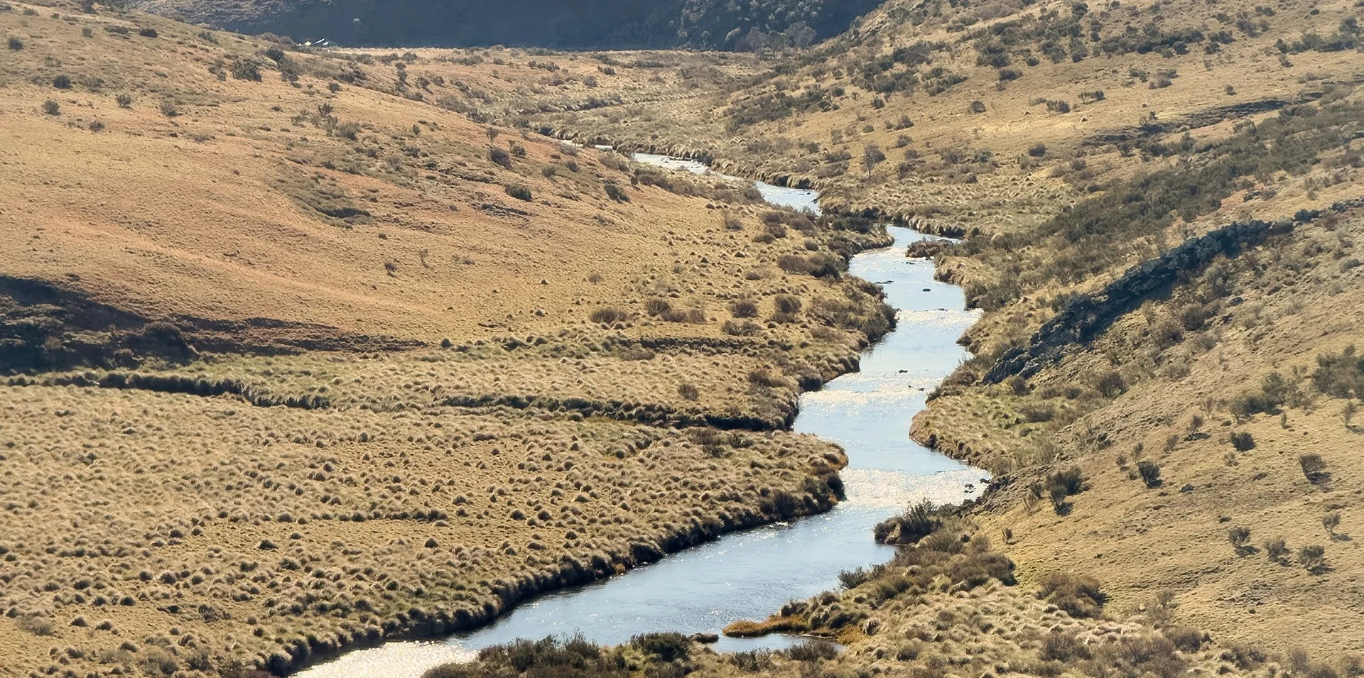
Geomorphic and environmental assessments
Erosion and landscape process investigations
GIS, remote sensing and spatial analysis
Environmental monitoring and landscape change detection
UNDERSTAND
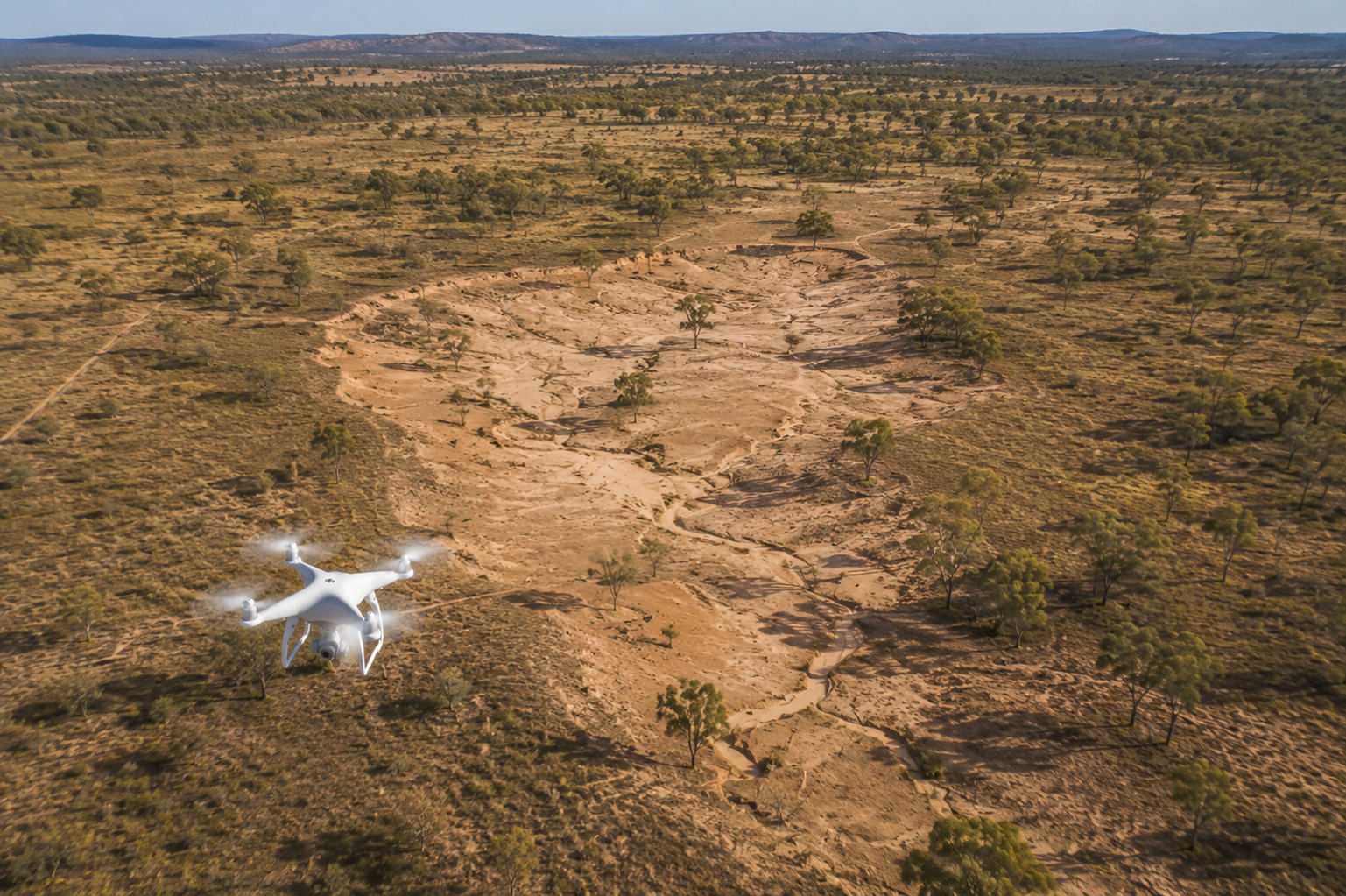
Strategic catchment planning & decision support
Site and landscape-scale spatial prioritisation
Risk assessment & framework development
prioritise
River & waterway rehabilitation strategies
Catchment restoration planning
Streambank & gully remediation
Erosion control & sediment management
Concept design & nature-based restoration planning
RESTORE
ADVISE
GIS solutions and support
Technical reviews and independent advice
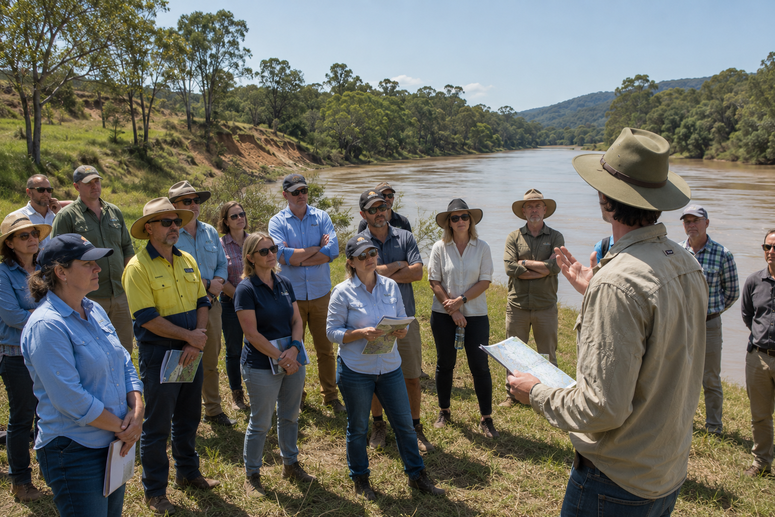
Community & stakeholder consultation
Workshop presentation & facilitation
Waterway advocacy and policy advice
work with us
Get in touch to discuss how we can help.